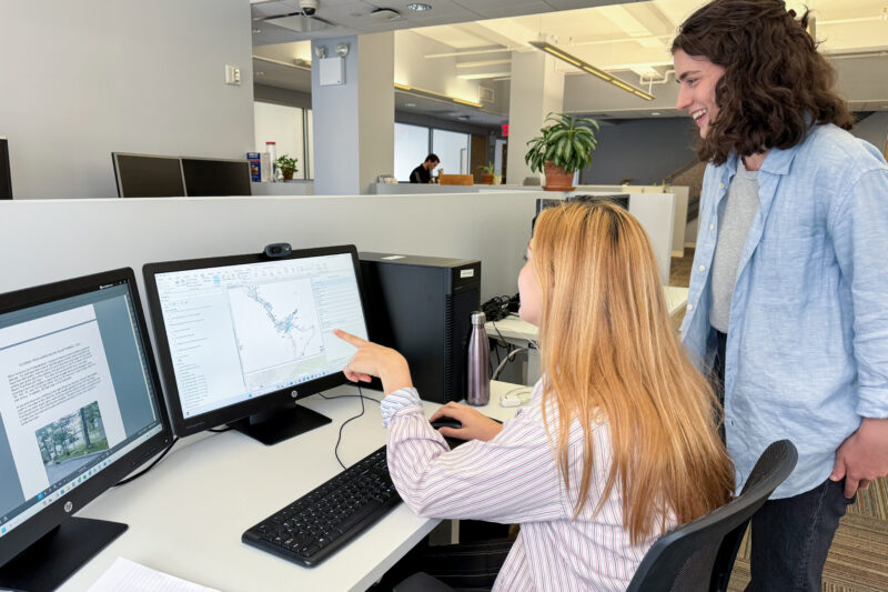
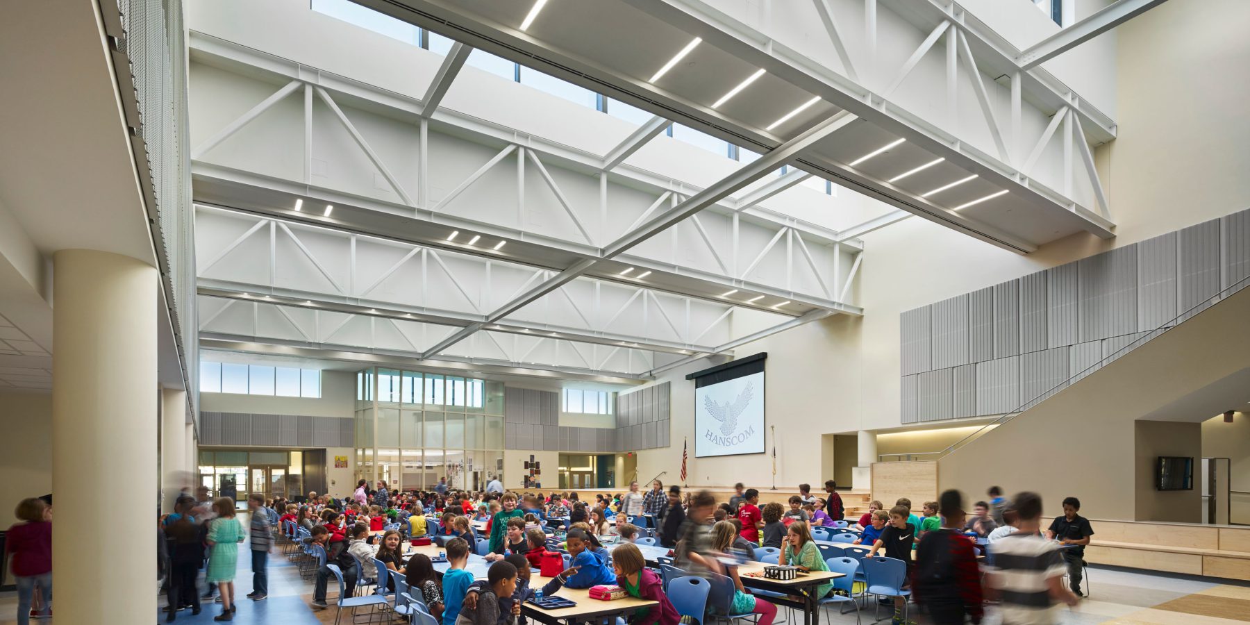
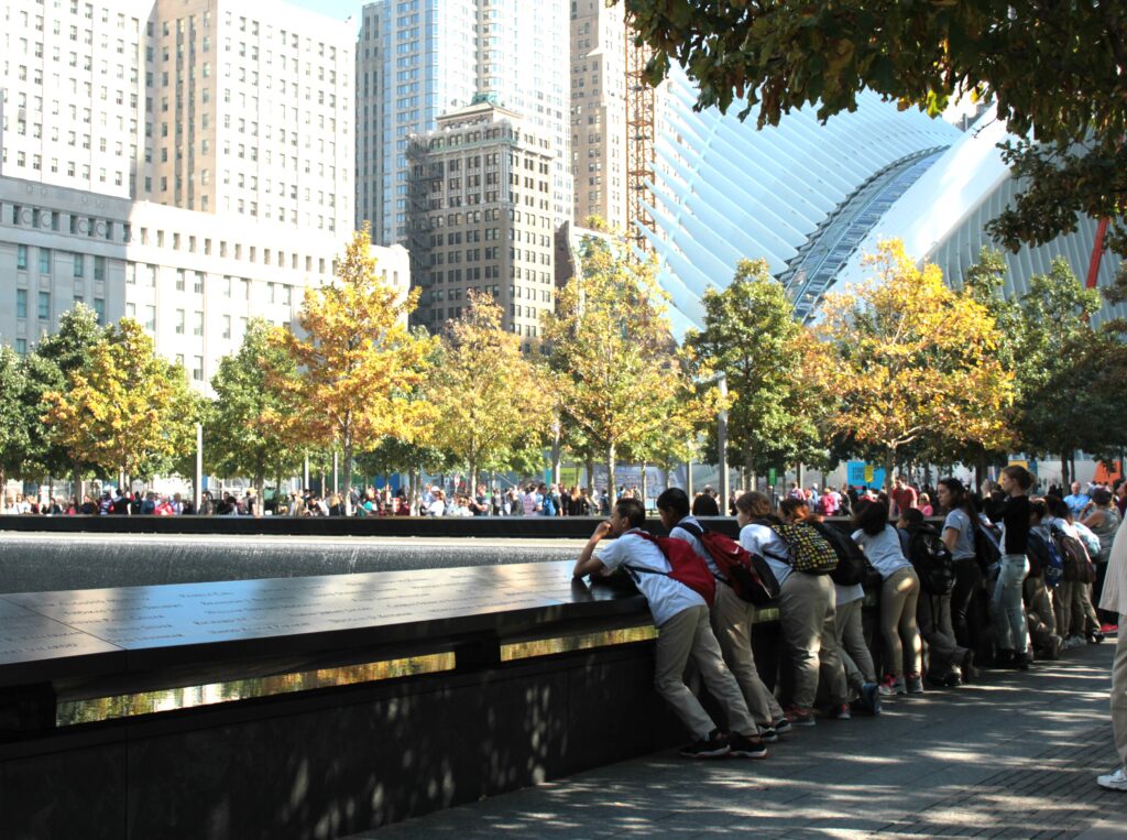
Services
We work hard to earn clients' respect and trust in our service-delivery strategies and technical know-how.

Air Quality
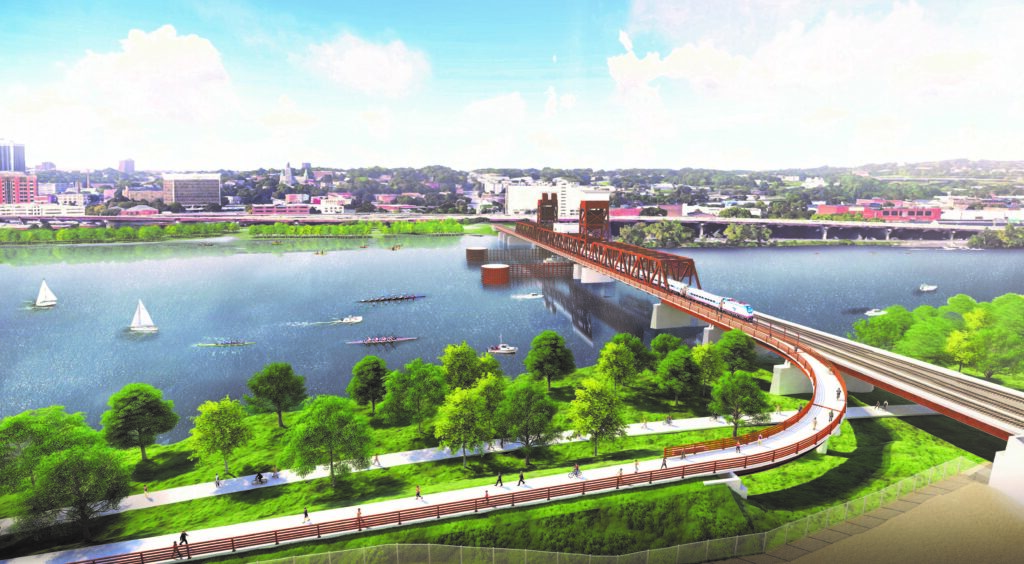
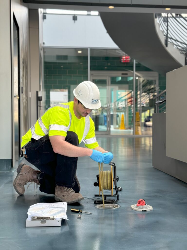
Civil Engineering
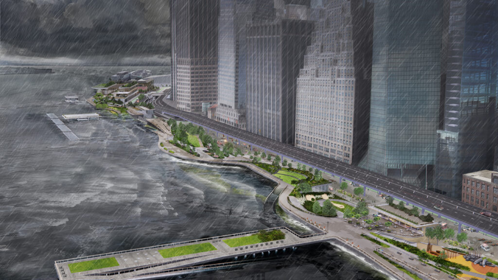
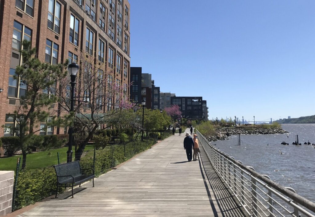
Climate Resilience and Adaptation
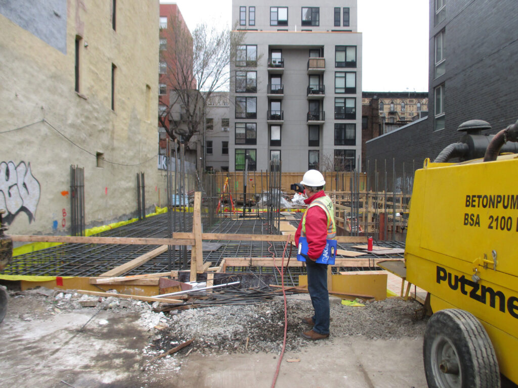
Construction Monitoring and Inspection
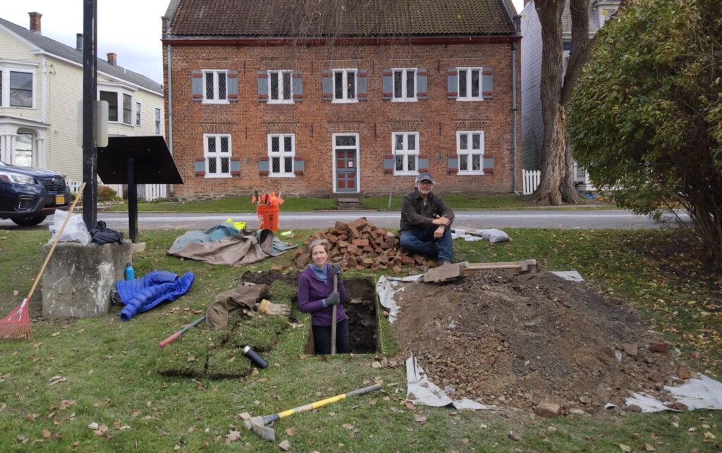
Cultural Resources
Economics and Real Estate Consulting
Environmental Impact Assessment
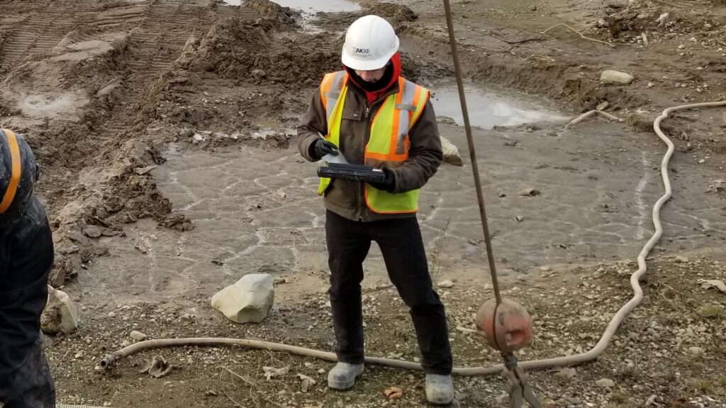
Geotechnical Engineering
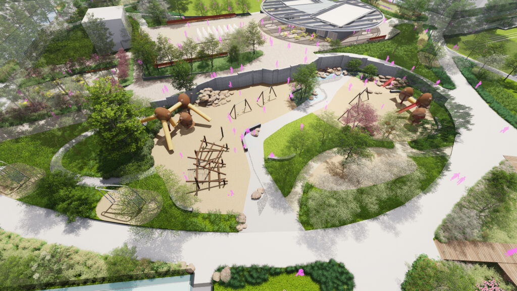
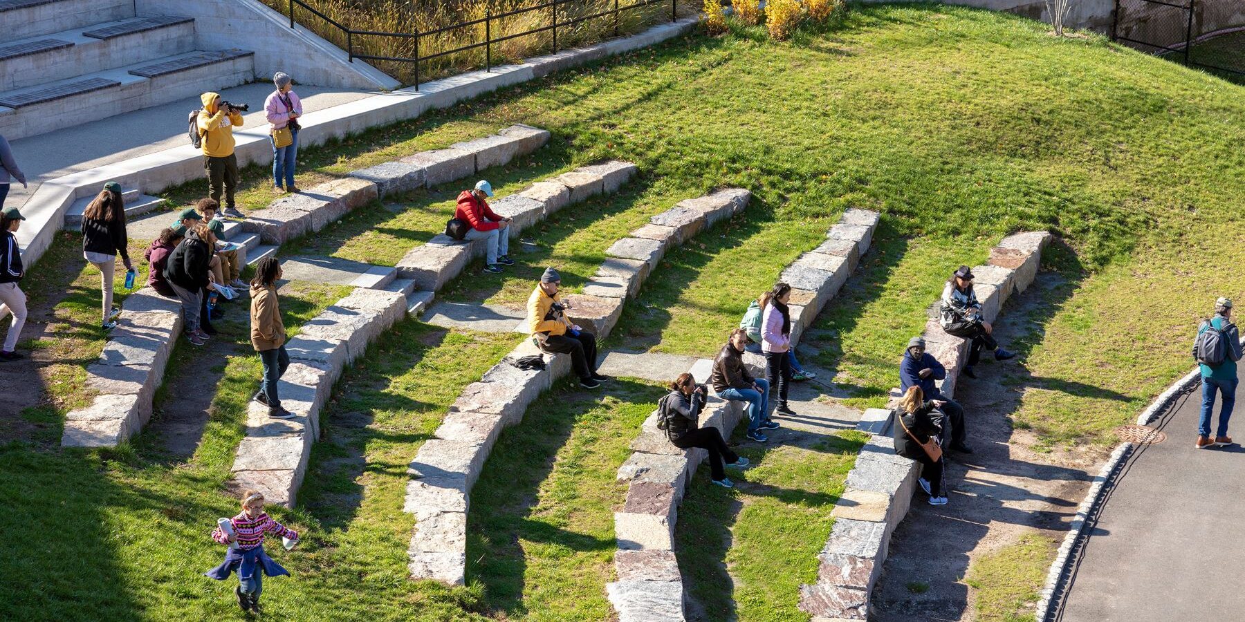
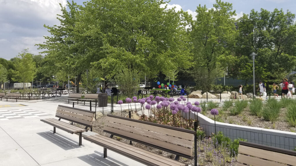
Landscape Architecture
Municipal and Land Planning
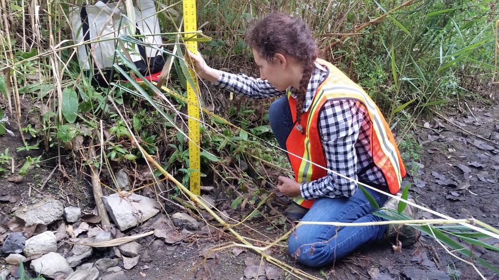
Natural Resources
Permitting and Compliance
Site Assessment and Remediation
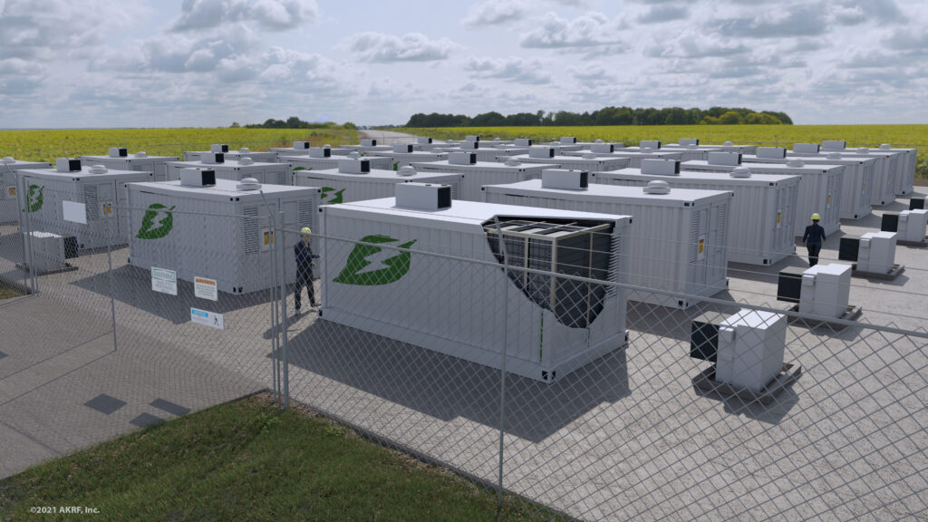
Sustainability Consulting
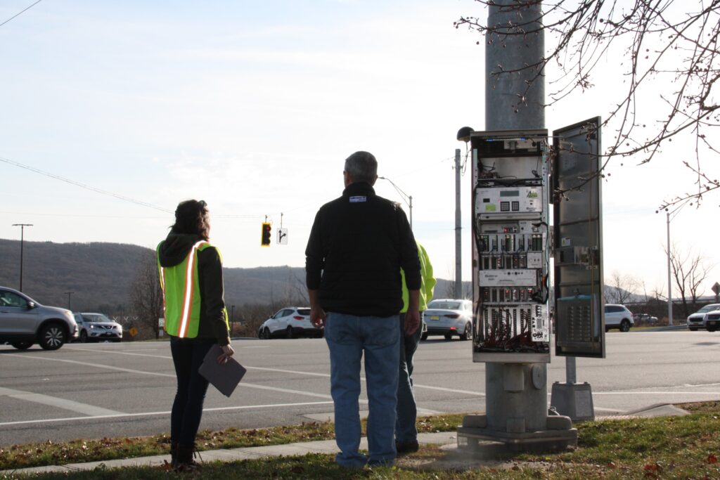
Traffic and Transportation
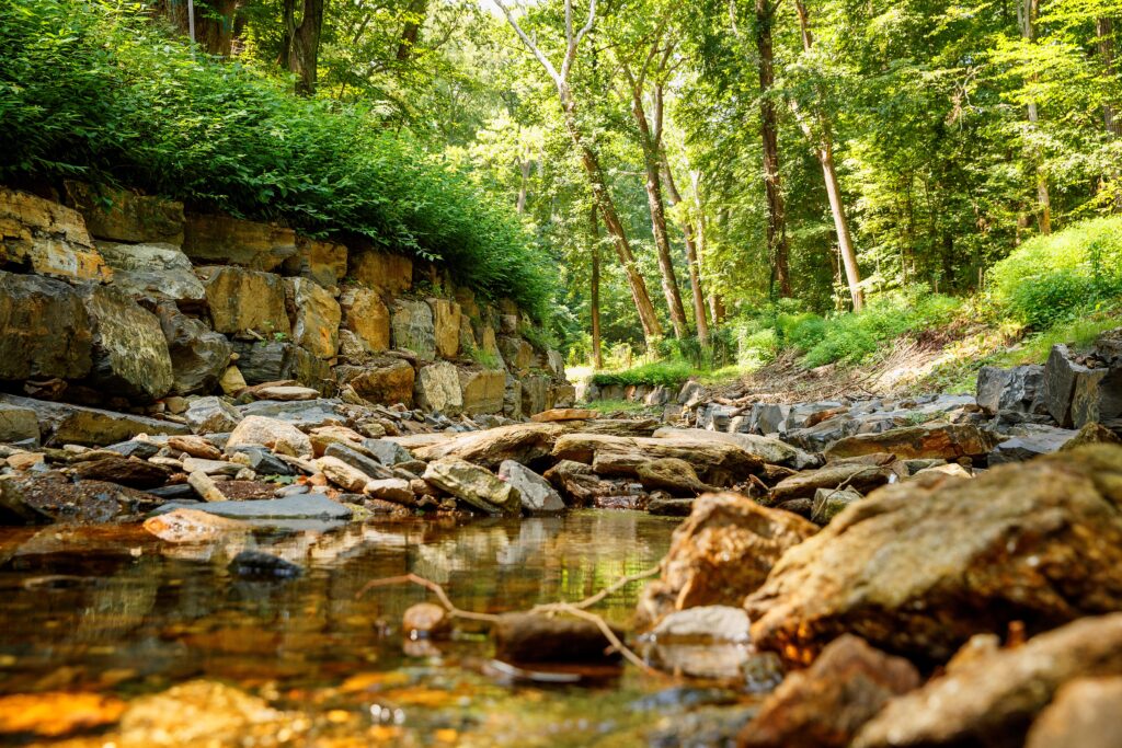
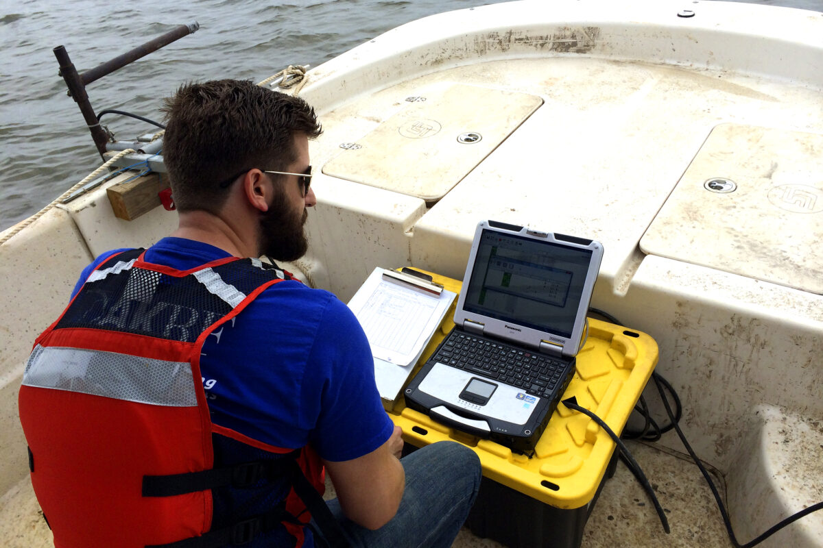
Water Resources
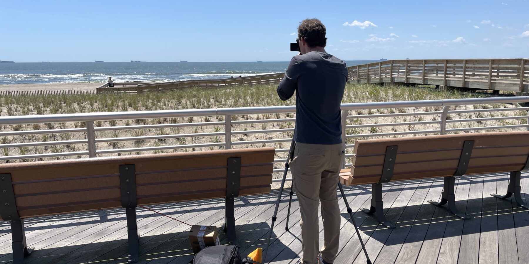
To be original is to be transformative.
We transform environments by creatively solving their most complex challenges. This takes local knowledge, proven techniques, and a flair for creative and context-driven solutions.